You come to a small circle as you exit the parking lot with the train station behind you. You take a right (1/4 turn) and go one block when you enter another very small circle. Again, take a right (1/4 turn). You will notice, as you make the turn, a green sign telling you that you are heading for Quimper. Special note for highway signs: In France, the cities are used for giving directions. It is advised to study the names of the towns along the highway in the direction you are going. Copilots are important for first-time drivers in France. I have listed them for you as far as these directions go but it is helpful advice for other excursions you go on. Also, the nice thing about circles is if you didn't recognize a city on any of the signs you can go around again (my personal record is 4 times around). The highway numbers are posted but are usually much smaller and harder to spot.
Follow this street for a good ways. It winds around a little but stay on it until you come to a very large circle this time. You will go half way around and take the road with the signs saying Quimper and Rostrenen.
This is Highway D700. You stay on this nice 4-lane highway for about 7 kilometers. You will then take the Quimper/Rostrenen exit. This is Highway D790. You will stay on this highway all the way to Rostrenen. You will drive through the following towns on D790:
- Quintin
- La Croix
- Corlay
- St. Nicolas du-Pélem
- Plounévez-Quintin
- Rostrenen
Some towns will have circles. In that case, just keep following Quimper signs. As you approach Rostrenen, you will come to yet another circle. This time, do not follow the Quimper sign. Take the Rostrenen exit just after the Quimper exit.
Stay on this road all the way through Rostrenen until you come to a T intersection. Turn left and you should see the church directly in front of you. Take the first right you see. If you drive by the church, you went too far. After you take the right, you will see a grocery store on the right-hand side called Centre LeClerc. Their parking lot and a soccer field are on the left-hand side.
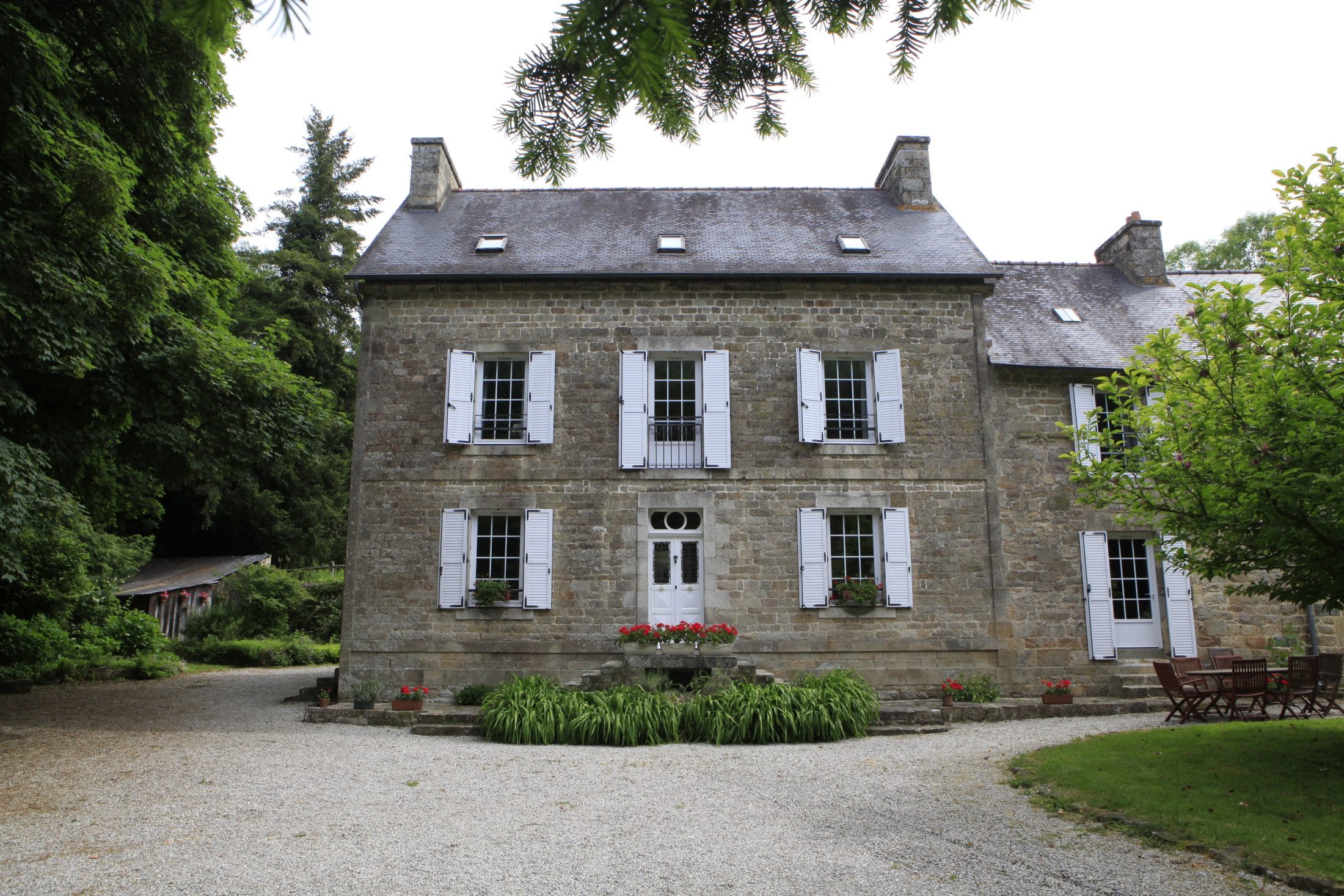
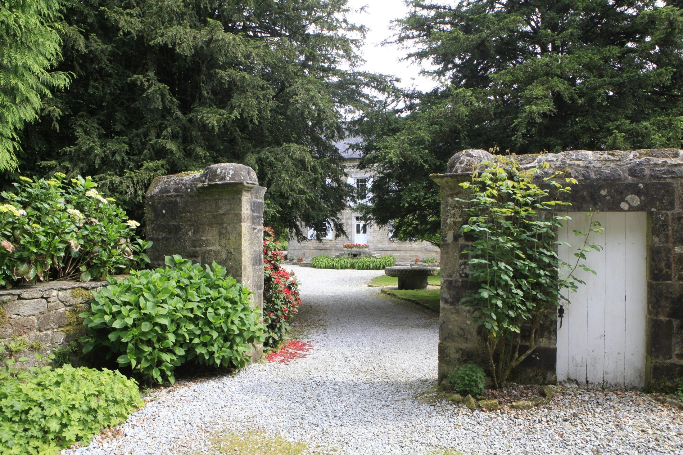
You will drive on this road and leave Rostrenen. The road becomes D790 again. You will drive about 2-3 kilometers on D790 when you will see signs for Bonen and Mellionnec pointing to the left. This is D23. Take the left. You will drive through Bonen and head towards Mellionnec. Our street is before Mellionnec and is exactly 2.1 km from the Bonen city limit sign (Bonen with a red line through it). Turn left at the green Gîtes de France sign and go up a steep hill, and then you will drive until you come to a Y. Follow the Ar Poull sign to the left. The road will eventually turn sharply to the right and then sharply to the left. As you head downhill, you will again see a sign saying Ar Poull. You should see the manor on the left as you turn left.

